Drones In Archaeology
August 29, 2013 in Daily Bulletin

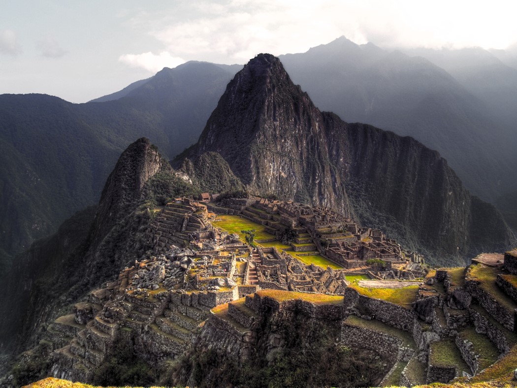
The Guardian wrote about the increasing use of drone aircraft in archaeological endeavours in Peru:
- It used to take archaeologists years to produce two dimensional maps of archaeological sites. With drones three dimensional maps can be produced in days.
- Researchers used to strap cameras to small planes for the same purposes but this was expensive and unwieldy.
- Drones on the other hand can be built for £650 and offer archaeologists fine control. They can take photos anywhere from three meters to 3,000 meters up.
- Experts are also considering the use of drone blimps for extended functionality.
Read more about the challenges of archaeological research in Peru, why speed is of the essence, and the types of drones that are used over here. Check out our entire series on the future of drones over here.
Source: The Guardian
Via: Marginal Revolution
Join the Discussion! (No Signup Required)